How Public-Private Collaboration Can Improve Emergency Communications in Local Government
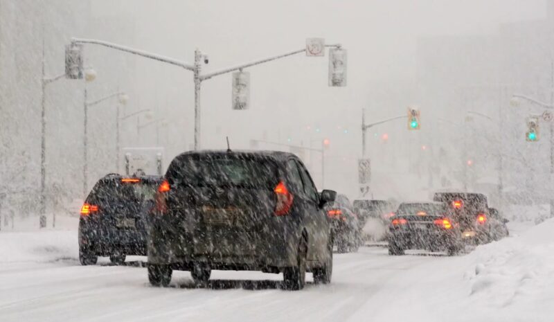
As first responders like to point out, all emergencies are local. State and city governments are still our first line of defense. Making real-time emergency decisions is not a trivial responsibility for local governments, as the State of Georgia and City of Atlanta discovered recently during the Great Southern Ice Storm of 2014. Their experience … Read more